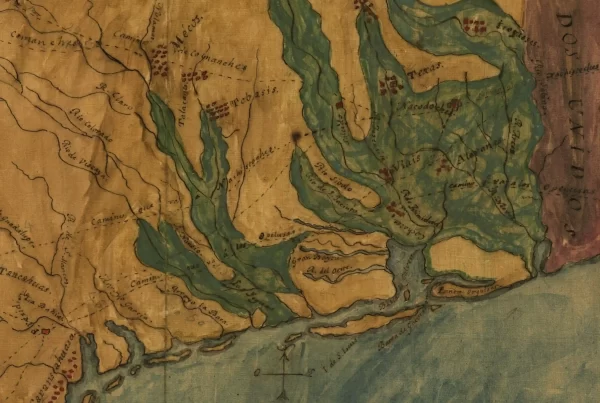
Published in 1718 by renowned cartographer Guillaume de L’Isle, under French royal patronage, this map shows the Rio Grande as the boundary between New France and New Spain, though in fact the French had no settlements in Texas, and the Spanish missionaries were active in the territory at the time that this map was prepared.
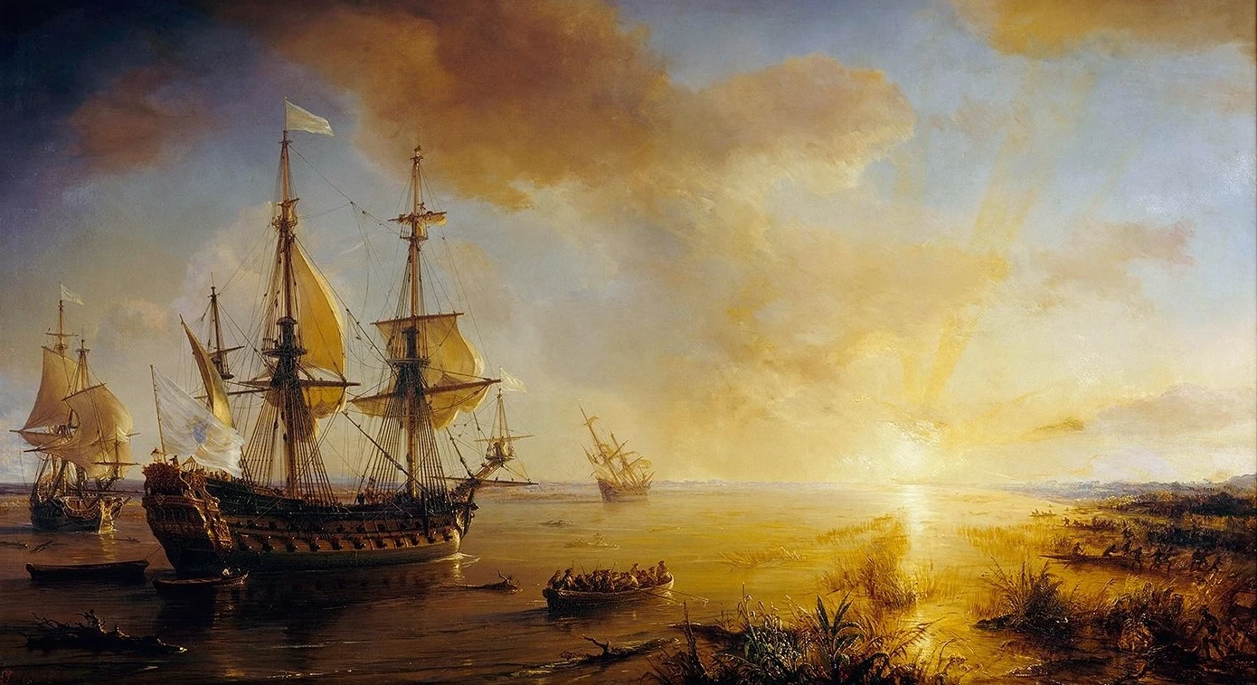
French explorer René-Robert Cavelier, a noble better known as “La Salle,” had established a colony at Matagorda Bay in 1685, but it survived only until 1688. But the French had established a fort at Natchitoches in western Louisiana in 1713, from which they conducted trade with Native tribes living in Texas. The explorer Louis de St. Denis had trekked across Texas the following year, mapping the territory and eventually arriving in Spanish outposts in Coahuila.
This map shows St. Denis’s route to New Spain and his route of return. The map likely was produced in part on information provided by the explorer to the cartographer, as well as from La Salle’s records and those of earlier Spanish explorers.
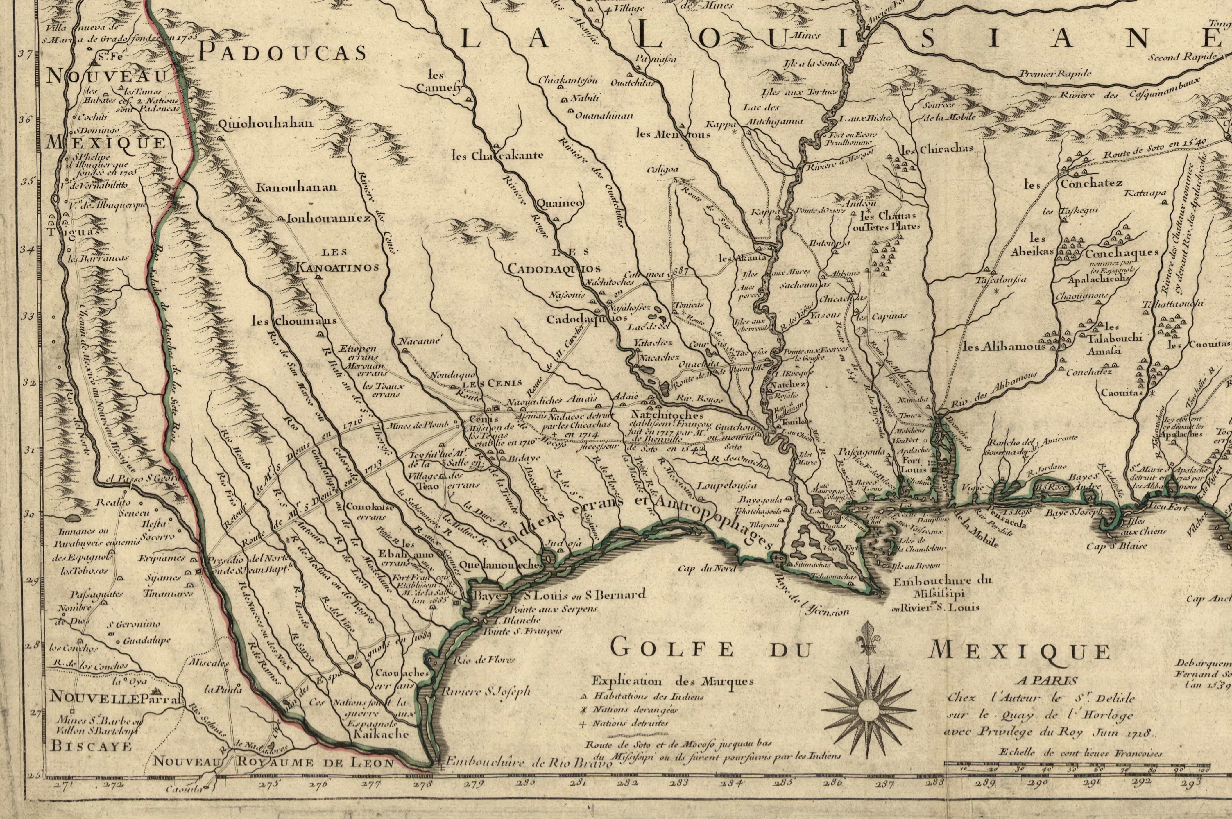
The map reflects a period of rivalry but peace between Spain and France, whose vast terrotorial claims spanned much of the North American continent, even as English settlement was limited to the east. At the time, Texas was inhabited only by Native peoples, apart from a few Spanish settlements along the Rio Grande and the Mission de los Tejas established in 1716 among the Hasinai Indians in East Texas (labeled “Les Cenis” on this map), which was later abandoned.
L’Isle’s map also shows Spanish setlements in New Mexico, which the Spanish had settled over a century earlier, and in Coahuila and Nuevo León, as well as El Paso, which the Spanish considered part of the New Mexico province, not Texas.
The map identifies the territories and key villages of several Native peoples, such as the Caddo, though Europeans’ understanding of Native cultures and territories at this time appears limited. Along the Gulf Coast of Texas is written,”Indiens errans et Antropophages,” which means “Wandering Indians and Cannibals” — an apparent reference to the Tonkawa and Karankawa, who practiced ritualistic cannibalism during victory dances.
This map pre-dates the Comanche expansion, before they had descended onto the Texas High Plains and fully adopted the horse culture. The name “Comanche” does not appear on the map; instead, L’Isle labels the Texas plains as being occupieed by the “Apache and Padouca [Kiowa-Apache].” Several other listed Indian groups later either migrated or were exterminated, and few are well-documented by the time that Anglo settlement began in the 1820s.
Soon after L’Isle’s map was published, the Spanish intensified a colonization and missionary effort in Texas, led by the Zacatecan and Querétaran Franciscans. In 1729, Spanish military authoities established a fort at Los Adaes, near Natchitoches in French Lousiana, undermining the French claim to East Texas and laying the ground for nearly a century of Spanish rule.
L’Isle’s 1718 map is preserved at the Library of Congress, Geography and Map Division, which digitized this file. The full map also shows French holdings in the rest of North America.