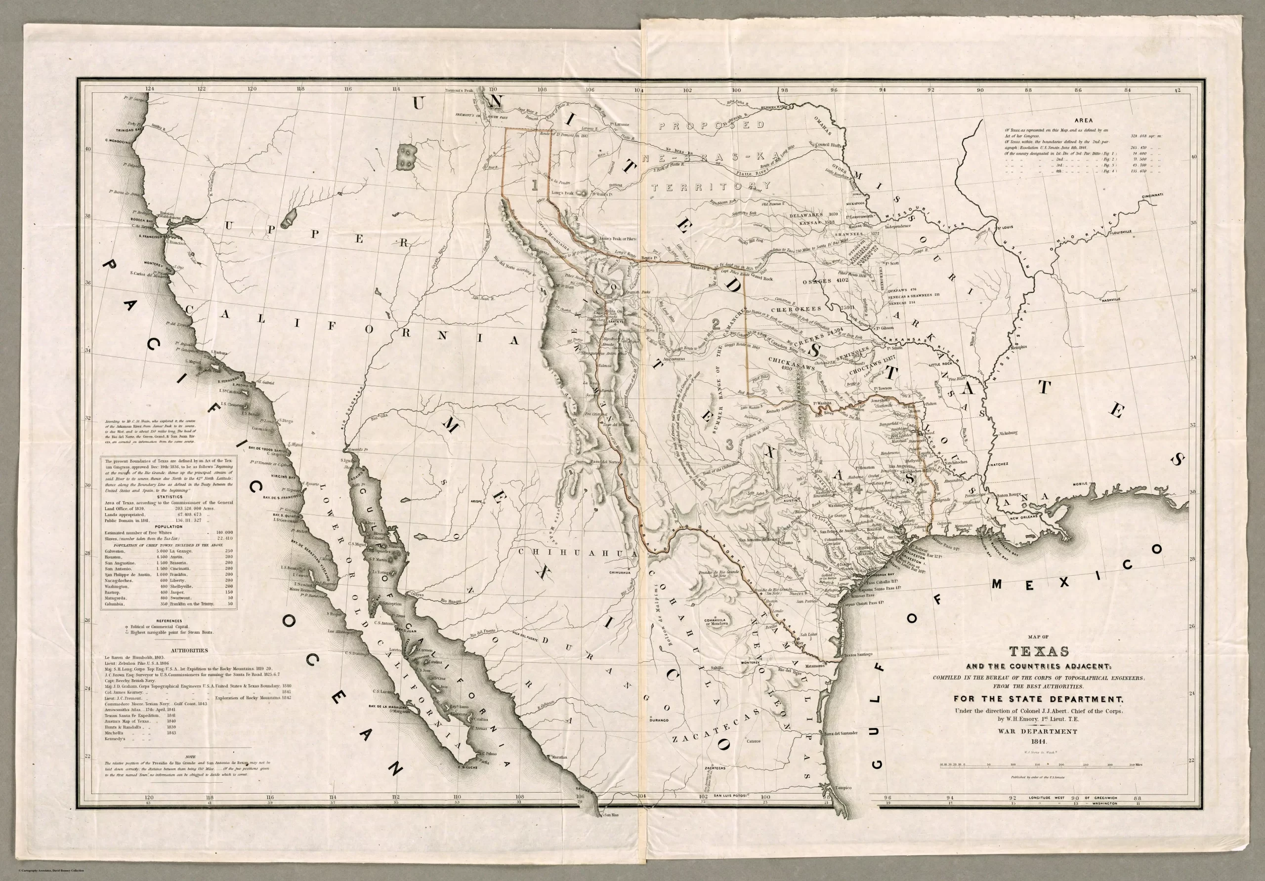
Produced by the U.S. War Department in 1844, this map shows the boundaries and major settlements of the Republic of Texas before its annexation by the United States. At the time, Mexico still controlled the territories to the west of Texas, including California, New Mexico, Arizona, and Nevada. It also had never relinquished its claim to Texas itself, though a tenuous peace prevailed between the two nations.

For its part, the United States had recognized Texas soon after its declaration of independence in 1836, and politicians in Washington had debated whether to peaceably annex the new republic—a contentious topic, since Texas was a slave-holding territory, and some politicians in the U.S. were opposed to the extension of slavery.
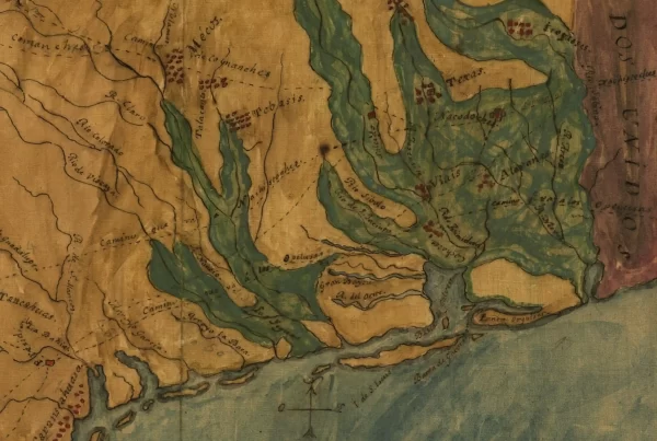
Texas’ eastern and northeastern boundaries were similar to the state borders today, defined by the Adams-Onís Treaty of 1819, but the western, southern, and northwest boundaries were less certain. The republic’s ill-fated Santa Fe expedition in 1841 had established the practical limits of Texan rule in the west. Santa Fe, Albuquerque, and the other New Mexico settlements were administered by Mexico, yet this map shows the Texan claim to the territory—not the social reality.
Likewise, vast parts of what is today the Panhandle and West Texas were dominated by the Comanche Indians, and were effectively outside the control of the fledgling republic, though claimed by it. In the south, Texas claimed to the Rio Grande River, which is where the border with Mexico is today, but Mexico contested this, preferring a more northern boundary at the Nueces River, while simultaneously holding out on recognizing Texan independence altogether.
This map was digitized by the David Rumsey Map Center, Stanford Libraries. It is reproduced here under a Creative Commons License.
Related Books
Dive deeper into this topic by purchasing any of these recommended books. As an Amazon Associate, Texapedia earns a commission from qualifying purchases. Earnings are used to support the ongoing work of maintaining and growing this encyclopedia.
- The Raven: A Biography of Sam Houston
- Lone Star Nation: The Epic Story of the Battle for Texas Independence
- Wars of the Mexican Gulf: The Breakaway Republics of Texas and Yucatan, US-Mexican War, and Limits of Empire 1835-1850
- Women and the Texas Revolution
- Texian Iliad: A Military History of the Texas Revolution, 1835-1836